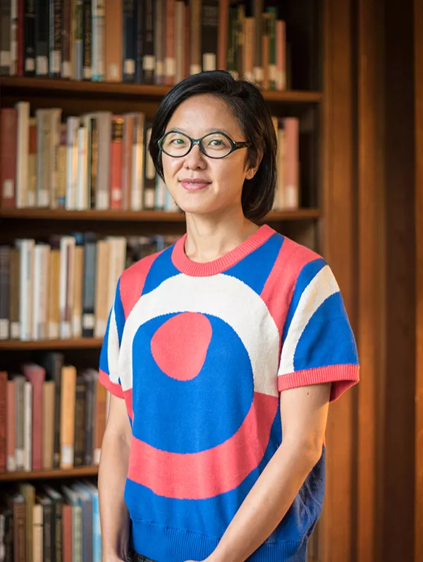
Min Kyung Lee, assistant professor of Growth and Structure of Cities, was recently awarded the Banister Fletcher Global Fellowship. The Fellowship is endowed by the University of London Institute in Paris partnered with the Bartlett School of Architecture and Queen Mary University of London. It is named after British architect and architectural historian Sir Banister Fletcher, who composed one of the first surveys of architecture, A History of Architecture on the Comparative Method, which is still in print today.
As part of the fellowship, Lee will give two public lectures and organize a workshop around her research project, “The Quantification of Space.”
Lee gave more details about the fellowship and project to Gabriela Capone '22 in an email exchange.
What attracted you to the Banister Fletcher Global Fellowship?
One of my research areas is the modernization of Paris during the 19th century. London was inevitably an important parallel to and influence on the French capital, so this fellowship offers a unique opportunity to extend my specific research on Paris to another city that was equally marked by modernization efforts around the same time. The fellowship also provides the time to complete my manuscript, The Tyranny of the Straight Line: Mapping Modern Paris.
Can you describe the project you will be conducting?
We live in a world of numbers. Weight and length are measured before birth. Footsteps are tallied. Square footage is priced. Air temperatures are calculated. Ice melt is tabulated. From the most intimate aspects of our lives to the global scales of our planetary environment, life is quantified. This comprehensive quantification project began with the European Enlightenment, when scientific communities in London and Paris raced to triangulate the surface of the Earth and to determine a universal standard measure. What became the metric system and prime meridian would ultimately provide a reference for all spatial measures to this day.
The tremendous international efforts to map the Earth based on a universal mathematical reference marked the beginning of a thorough rationalization of space. The resulting coordinate system of quantitative representation would determine the composition and management of cities and their buildings as well as their governance through labor and economics. The fellowship project, “The Quantification of Urban Space,” explores the social and epistemological consequences of this comprehensive mapping project on the built forms that compose London and Paris. Workshops will be organized under four themes: mapping the city, sensing the city, speculating urban spaces, and building urban spaces.
These events will highlight the ways our lives and communities were and are made to conform to the methods and categories of quantification. Scholars and practitioners from philosophy, architecture, history, anthropology, geography, and the arts will be invited to present their research and to discuss the meanings and effects of quantification in our society today. The aim is to develop a public dialogue about the ways in which our urban landscape and social experiences have been and continue to be framed by numbers.
How will this research be conducted?
Currently the global situation makes it difficult to gather in person for lectures and workshops. Most likely, events will have to occur online and archival research will be limited, but we will see how things unfold in the next months. If possible, I will reside with my family in Paris for the duration of the fellowship.
The ways in which COVID-19 has been managed is connected to this topic because policies related to how we organize ourselves and our activities in space are conceived and managed based on quantitative data. But what is measured and how? What is the quality of that data? What is not and cannot be measured, and how do those limitations affect governmental decisions? There is also the matter of trust (or lack) in those numbers. These are basic questions that inform the making of our built environments and the spaces we inhabit, even under non-pandemic conditions.
How will this research further contribute to your overall work in Growth and Structure of Cities? How will it contribute to your teaching as a Bryn Mawr professor?
My research asks a basic question about how urban space was represented through geometric maps and plans—modalities that we still use today, and that we take for granted. But during the 18th and 19th centuries, these were radically different images of the city derived from quantitative methods. They were born not out of specifically architectural concerns, but broader debates about the role of government, the value of the natural sciences, need for economic growth and new forms of taxation, the professionalization of building practices, as well as other cultural and philosophical debates. The argument is that these kinds of maps and plans were not merely descriptive but were generative of a specific kind of modern space. In all of my courses, from The History of Modern Architecture and Form of the City, and my seminars Nature and the City and Modern Paris, these themes about the relationship between images and built forms, the rationalization of space, and the social and political consequences of these quantification efforts hold an important place.